Trail Closure Update April
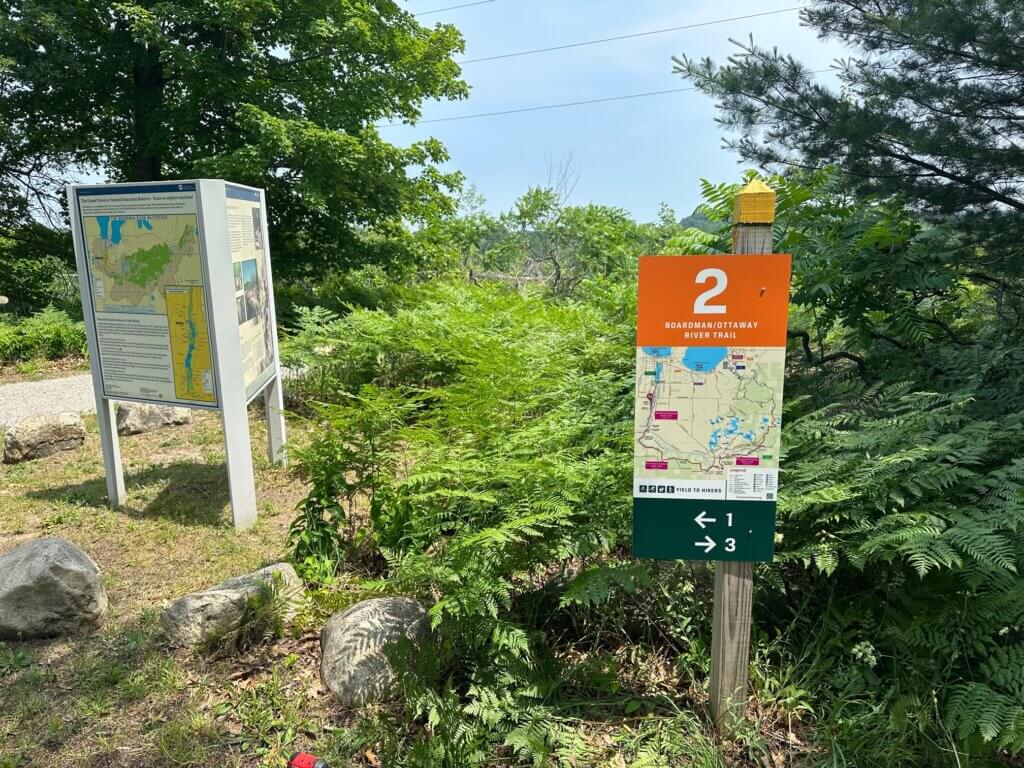
Following a significant rain event, the Boardman/Ottaway River Trail experienced flooding across the trail route, resulting in some permanent trail closures, permanent bridge damage, and temporarily closed segments until the water recedes and can be assessed for damage and repairs. Consult the images below to enjoy the B/ORT safely.


Trail Closure Update December
For the winter season, the Grand Traverse Conservation District’s Nature Education Reserve portion of the Boardman/Ottaway River Trail is open to trail users.
Construction on this section is halted due to snow and freezing temperatures. Although the trail and project are not fully completed, the team deemed the trail safe for users.
Once spring arrives and construction begins again, the trail will close again for ~2-4 weeks to finalize the project. The footbridge will remain closed until the grand opening in Spring 2026, upon full completion of construction (all operations are weather permitting*).
The 24 miles of the Boardman/Ottaway River Trail is complete and provides 7 miles of newly constructed single-track trail connecting Mayfield Pond Park to the North Country Trail. Additionally, we are thrilled to have recently completed trail between the Boardman River Nature Center and Cass Road.
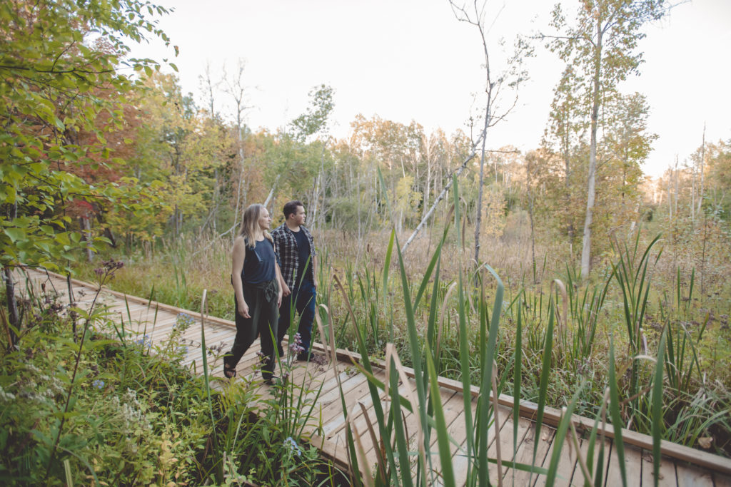
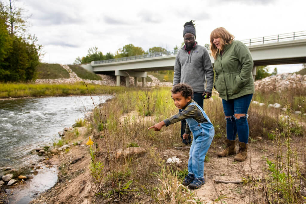
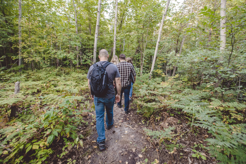
Trail users can enjoy lakes, rivers, boardwalks, bridges, scenic vistas, forest, and wildlife. The trail also serves as a connecting trail for people to safely walk or bike to the soccer fields, the YMCA, the Nature Education Reserve, Kingsley, and the NCT. The trail is ideal for backpacking, bike camping, trail running, cross-country skiing, snowshoeing, bird watching, photography, and wildlife study.
This 41.6 Mile loop starting in town at Hull Park behind the Traverse Area District Library connects the Boardman Lake Loop Trail, Boardman/Ottaway River Trail, East Creek Reserve Trails, Brown Bridge Quiet Area, Muncie Lake Pathway, North Country Trail, Vasa Pathway and TART back into Traverse City. Hunting is permitted in certain areas of the loop. Use caution and wear blaze orange or bright colors during hunting seasons.
The Boardman/Ottaway River Trail Committee, composed of various partners and spearheaded by Richard Naperala, was formed in 2010 to explore feasibility of developing a 24-mile trail that follows the Boardman River Valley from Traverse City to the North Country Trail (NCT). Most of the trail is in forested area on existing dirt paths and two-tracks. From the NCT users can continue on to connect with the Vasa Pathway and head back to Traverse City via the TART, resulting in a 41+ mile loop.
Maps
GPX file for GPS here
Parking
Parking available at Mayfield Pond Park, Brown Bridge Quiet Area Trailhead 1, Muncie Lake Pathway , Grand Traverse YMCA South, the Boardman River Nature Center and more.